[Image credit: Google (Google Maps Screenshot)]Google Maps, Street View, and Google Earth Receive Major Updates
Google has rolled out significant updates to its mapping tools—Google Maps, Street View, and Google Earth. These new features offer an enhanced experience, including a unique time travel capability and clearer global imagery. Let’s dive into what these exciting Google Maps updates mean for users.
Historical Imagery on Google Earth
The most exciting feature of these updates is the addition of historical imagery in Google Earth. Users can now explore satellite images dating back as far as 80 years for some locations. Previously, these images were only available in the Pro version of Google Earth, but now they are accessible for everyone on both web and mobile platforms.
This means you can take a look at how your neighborhood appeared decades ago or analyze the impact of climate change on forests over time. Cities like London, Berlin, Warsaw, and Paris now have satellite data going all the way back to the 1930s. This feature provides a fascinating way to see how these cities have evolved, grown, and adapted over the decades.
Expanded Street View Coverage
Google Maps is also expanding its Street View coverage. Users will now see expanded Street View imagery across 80 countries, with some countries getting Street View for the very first time. Google has shared examples from locations like Iceland, New Zealand, Brazil, Mexico, Tasmania, Japan, Denmark, and France.
According to Google, this update marks one of the most significant expansions in Street View’s history since its launch in 2007. The total number of images now exceeds an impressive 280 billion. With this extensive coverage, users can virtually explore more of the world than ever before.
Enhanced Satellite Imagery
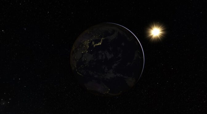
Another notable update comes to satellite imagery across Google Earth and Google Maps. Google has used AI to enhance the quality of its satellite views. New cloud removal tools have been applied to create a refreshed and clearer global mosaic. This allows users to see the Earth in more detail with sharper images, improving the overall accuracy and visual appeal of Google’s mapping tools.
Why These Google Maps Updates Matter
These updates make Google Maps, Street View, and Google Earth more informative and visually engaging. Historical imagery allows a unique glimpse into the past, while expanded Street View coverage makes virtual exploration possible in more locations. The enhanced satellite views provide a clearer and more realistic representation of our planet, perfect for travelers, researchers, and the curious at heart.
Overall, these Google Maps updates bring major improvements to how we explore and understand the world. Whether you want to travel back in time, visit a distant place virtually, or get a sharper view of our changing Earth, these features are sure to enrich your experience.